Explore Reno, Nevada
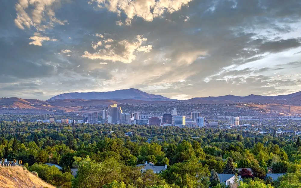
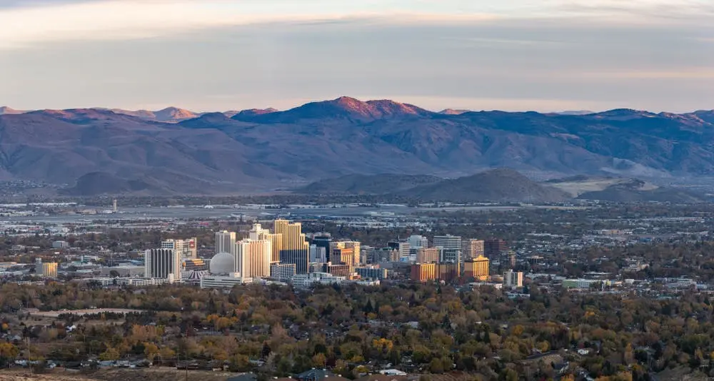
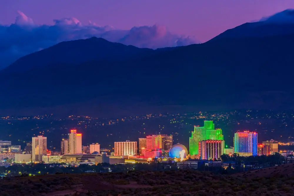
Reno's nickname is "The Biggest Little City in the World," located 22 miles north of Lake Tahoe. Today, the city's primary industries are gaming and tourism, and the city serves as the county seat of Washoe County. Geographically, it sits in the High Eastern Sierra foothills in the Truckee River valley.
Historically, the area served as the eastern border for the Martis people. Pioneers began settling the region as early as the mid-1850s. These early settlers survived using subsistence farming, but they also did business on the California Trail. The discovery of silver in 1859 at the Comstock Lode led to a mining rush, and thousands of emigrants began traveling westward.
Charles W. Fuller built a toll bridge to facilitate travel between Virginia City and the California Trail. Then, in January 1863, the Central Pacific Railroad started to lay tracks east of Sacramento. These tracks would form an eventual connection with the Union Pacific Railroad. Once these railways connected, they would form the nation's first transcontinental railway.
Myron C. Lake gave land to the CPRR and earned the title of "founder of Reno." The railroad company established a depot at Lake's crossing in exchange for the deeded land. After the railroad station was built, the town of Reno came into official existence on May 9, 1868. The Virginia and Truckee Railroad was extended to Reno in 1872, boosting the new city's economy. In the following decades, Reno prospered as the principal settlement between Sacramento and Salt Lake City. Nevada continues to be the world's third-largest gold producer to this day.
Campgrounds Near Reno, Nevada
River Rest Resort is situated just south of the I-80 highway, heading toward Lake Tahoe. It is close enough to the city to enjoy Reno's casinos without all the hustle and bustle. Daily rates begin at $53, weekly rates start at $374, and monthly rates begin at $900. There are plenty of walking trails tracing along the Truckee River at the park, and there are 30- and 50-amp hookups.
The clean streets, well-kept turf yards, and tree-lined avenues make Sparks Marina RV Park look like an idyllic suburb. Their daily rates start at $37, and you can get a month-long lease for $550. In total, they have 383 sites, and their rates fluctuate according to the seasons. A summer back-in spot begins at $47 per night, and a winter pull-through spot begins at $42.
Shamrock RV park is hidden off State Route 395, only 10 minutes from the city. It has 121 sites in total, and it is close to Peavine Peak and the Safari Zoo. In addition, they provide pull-through and back-in sites with full hookups.
State Parks Near Reno, Nevada
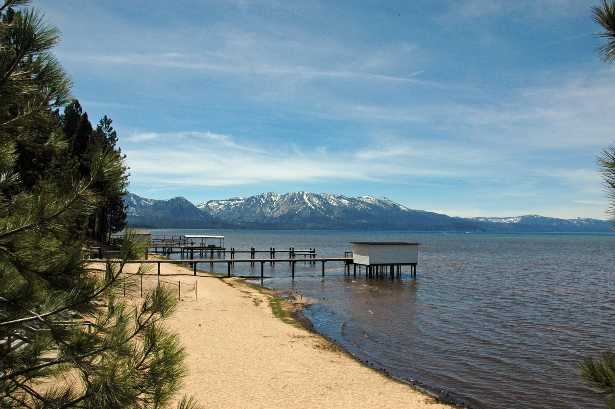
Ed Z'berg Sugar Pine Point State Park is 55 miles south of Reno, near Tahoma and Tahoe City, California. It is open around the year, and during the winter, travelers can enjoy cross-country skiing on over 20 miles of marked trails. The park has almost 2 miles of lakeshore access, so you can swim. There are tours of the Hellman-Ehrman Mansion. The park only charges visitors 5$ to enter during the cold season.
Tahoe State Recreation Area is 47 miles southwest of Reno via CA-89 and I-80. This park provides a bike path into Tahoe City, with gorgeous views of Lake Tahoe the whole way. Children will love participating in the junior ranger program, and Donner Pass is only 14 miles away. The entry fee is only $10 per vehicle.
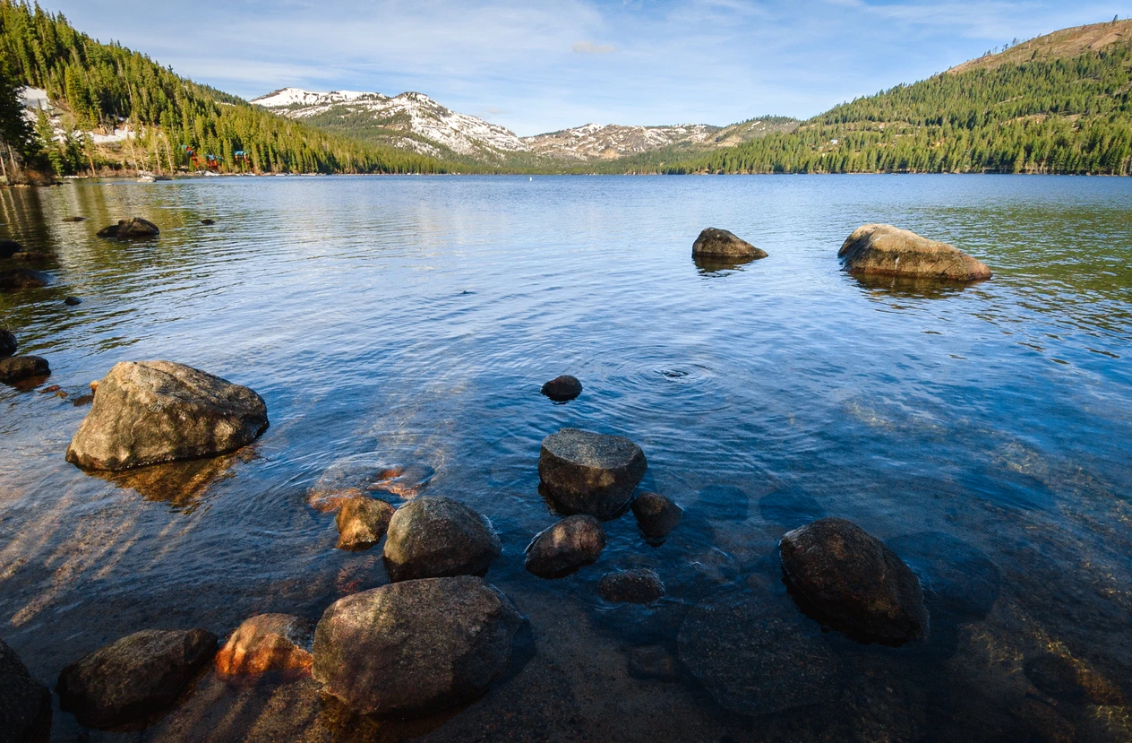
Donner Memorial State Park is 34 miles southwest of Reno via I-80. This park is nestled on the site where members of the Donner Party were trapped in 1846. Today's visitors can experience vistas of Donner Lake and Donner Creek, including scenic trails, beaches, and a museum. There, you can see exhibits with artifacts dating back to the 19th century. Throughout the year, temperatures and weather conditions fluctuate. Wintertime temperatures drop to 16 to 44 F, and summertime temperatures vary from 37 to 83 F.
National Sites Near Reno, Nevada
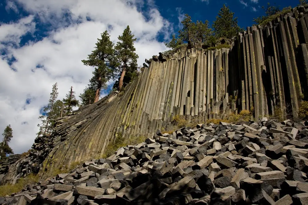
Devil's Postpile National Monument is 178 miles south of Reno, and it attracts hundreds of visitors each year. The towering columnar basalt stands 60 feet tall, making it one of the world's most stunning examples. It was formed by cooling lava flow that cracked into columns. If adventurers wish to tackle a trail, a portion of the Pacific Crest Trail carves its way through this park. Also, this park is near Rainbow Falls, the highest of the middle fork on the San Joaquin River.
Port Chicago Naval Magazine National Memorial is designated as a memorial to WWII's deadliest homefront disaster. On this site, in July 1944, two Navy cargo ships exploded during loading procedures. Consequently, 320 sailors and civilians were killed. Since two-thirds of the sailors were African American, it led to a mutiny trial and the eventual desegregation of the armed forces. Ranger-led tours are available, but call at least two weeks in advance.
California National Historic Trail marks the path of thousands of immigrants from the 1840s and 1850s. Mass migrations used different traveling methods, but the majority followed this trail. It was officially designated in 1992, commemorating these westward migrants. Along the way, you can retrace the immigrants' footsteps and see the remnants of their original wagons.
National Forests Near Reno, Nevada
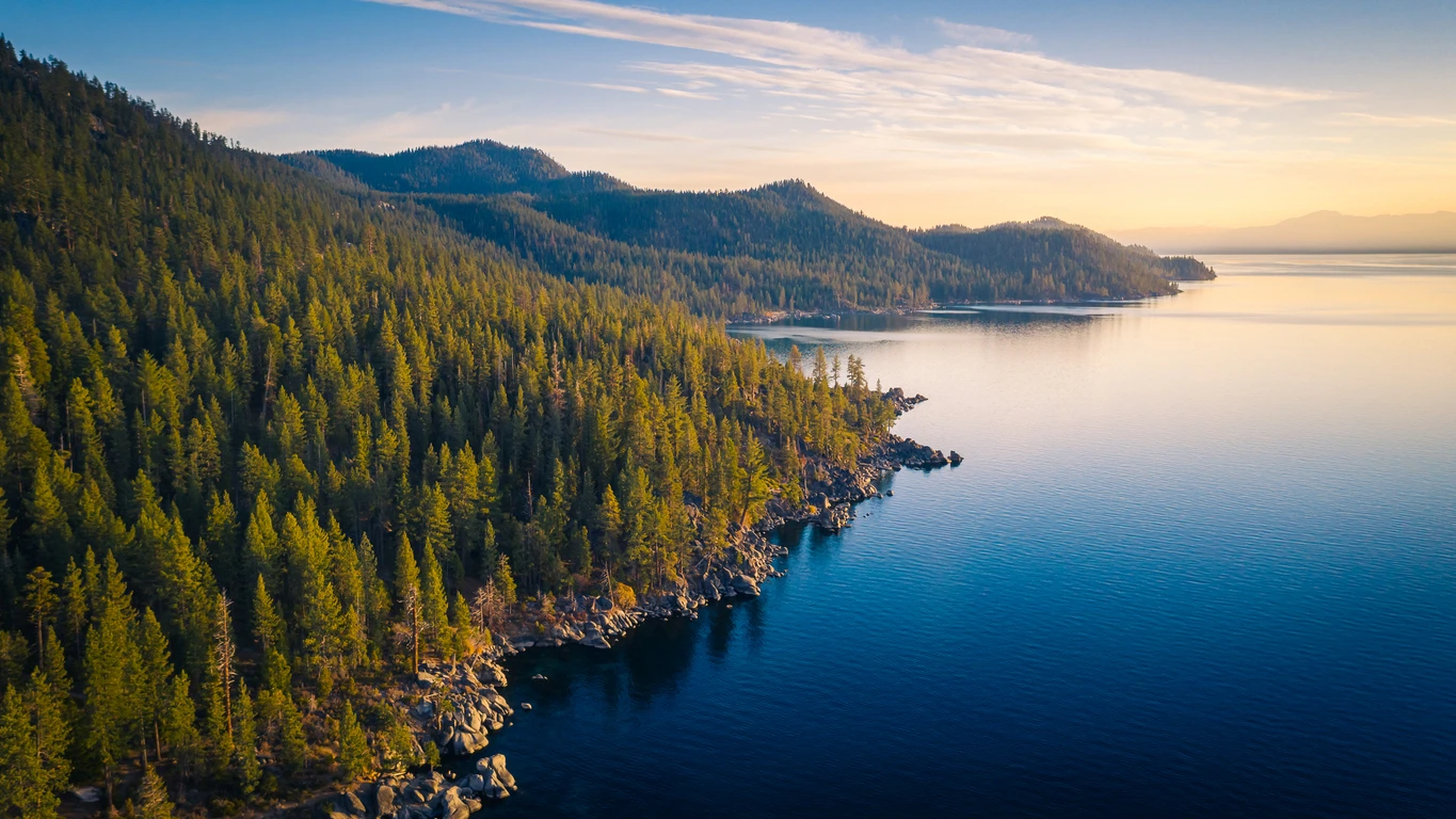
Lake Tahoe Basin Management Area is 62 miles south of Reno via US-50 and I-580. It surrounds the pristine evergreen forests near the stunning Lake Tahoe. Visitors can hike, fish, camp, and ski. Cascade Falls Trail is tucked along the south side of Lake Tahoe, and it lasts for 1.4 miles. Tamarack Lake Trail is longer, at 7.4 miles, and it circles a secluded lake for people who value solitude.
Tahoe National Forest is 70 miles west of Reno via CA-89 and I-80. It encircles 871,495 acres of untapped forestland, and it is home to the northernmost sequoia trees. Castle Peak Trail starts from the Boreal Parking Lot off Highway 80, and it goes up to Castle Peak over 5.9 miles. This spot is the highest point in the Tahoe Donner area, but it is rocky and steep, so be prepared with sturdy shoes. It also might help to bring trekking poles if you have them.
Eldorado National Forest is 70 miles south of Reno via US-50 and I-580. It includes more than 500,000 acres of the wooded area between Placerville and Lake Tahoe. At the low end, elevations bottom out at 1,000 feet, and at the high end, they peak at 10,000 feet. Visiting families can expect to find snow from December to May if they are above 6,000 feet. Caples Creek Loop Trail runs for 9.1 miles, and there are even places to camp if you prefer a rustic experience.
