Fishlake National Forest Guide
- Home
- National Forests
- Utah
- Fishlake National Forest
The Fishlake National Forest is one of Utah's hidden gems. Out-of-state travelers often pass it by on I-15 as they drive between Salt Lake City and the red rocks of southern Utah. Locals know that away from the interstate you're greeted with sweeping mountain ranges, leafy forests, and open meadows bisected by meandering streams. In one visit, you can fish for massive trout on Fish Lake, hike through mining ruins in Bullion Canyon, or take a wild mountain-bike ride on the state's most thrilling singletrack. When Utah's long summer ends, the fun is just getting started. In the fall, the aspen groves turn an almost neon shade of yellow, and winter brings heavy snow that's perfect for skiing, snowmobiling, and ice fishing.
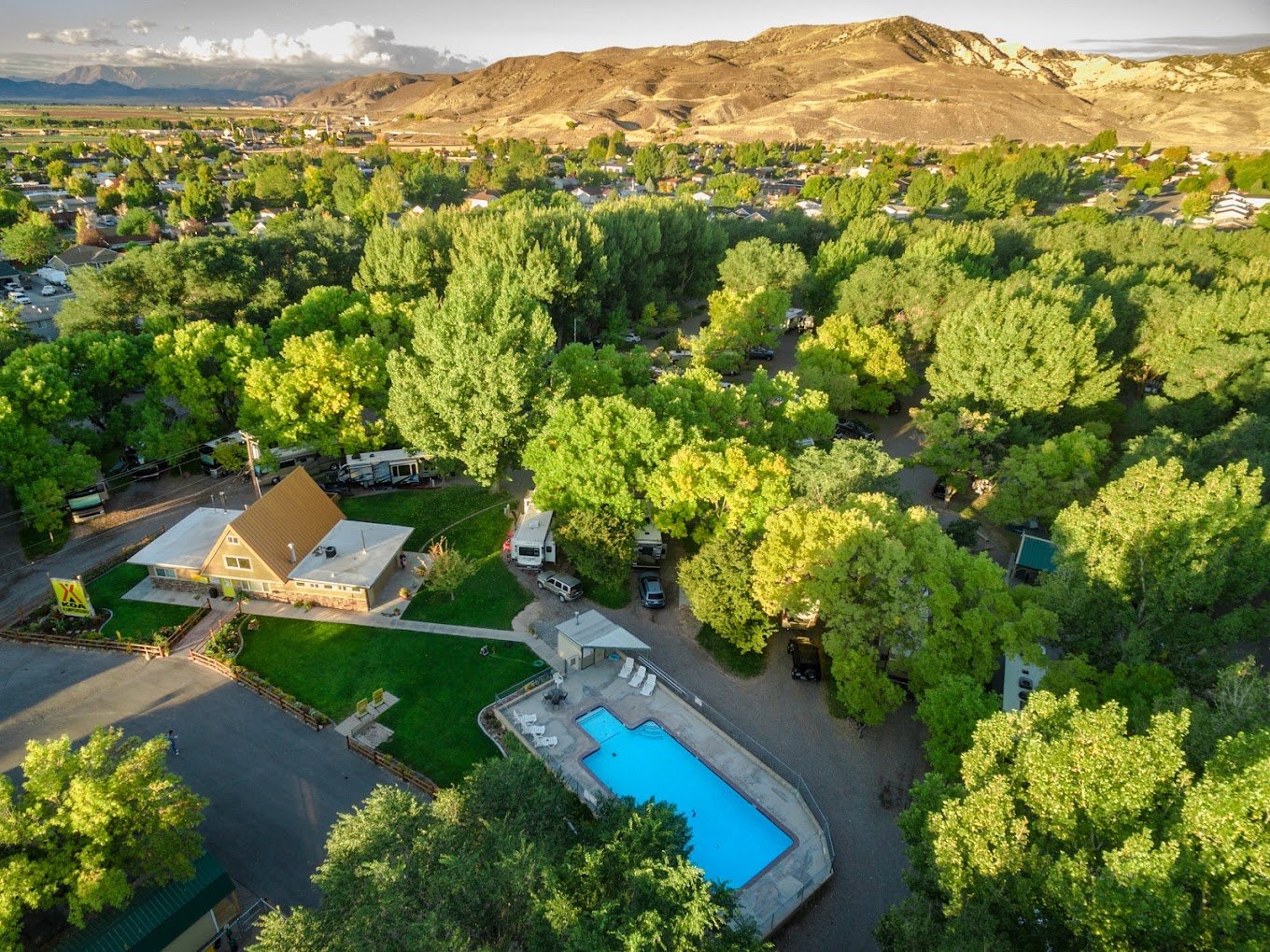
RV Rentals Near Fishlake National Forest
Fishlake National Forest Hiking Trails
-
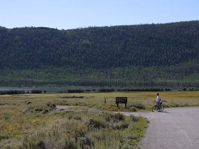
Lakeshore National Recreation Trail Section 2
Enjoy the views of Fish Lake from Section 2 of the Lakeshore National Recreation Trail. This route is easily accessible; it starts at the trailhead near Bowery Haven Resort. From the resort, you'll climb high above the lake to Pelican Point. The point is a great place to rest and enjoy the panoramic vistas. Section 2 continues downhill to Lake Creek. There's another trailhead at Lake Creek, so you can leave a second car there as a shuttle or make the return trip for a fun out-and-back hike. If you're up for a longer trip, it's another 5.5 miles to the third overlook on Mytoge Mountain.
Length: 5 miles round-trip
Intensity: Moderate
-
Skyline National Recreation Trail
Some of the best views in Fishlake National Forest are found on the Skyline National Recreation Trail. The path lives up to its name — it climbs steadily from the Big Flat Trailhead, taking you high into the Tushar Mountains. After the initial push, you'll hike along ridgelines, enjoying 360-degree views. July through October is the best time to go; in October, the changing leaves add bold swathes of yellow to the mountainsides.
Length: 17.5 miles one way
Intensity: Moderate
-
Bullion Falls Trail
Hike to a beautiful 75-foot waterfall on the Bullion Falls Trail. From the Bullion Falls Trailhead on Bullion Canyon Road, it's about 1 mile to the falls. From there, you can keep hiking to access the five different trails in the canyon. The trip to the waterfall is relatively easy, but the remainder of the trails can be exceptionally challenging. Make sure to wear sturdy boots to protect your ankles on the rocky ground, and bring plenty of water.
Length: 2 miles round-trip
Intensity: Moderate to Difficult
-
Middle Ranger Trail
The Middle Ranger Trail starts on Sun Glow Road, just before the Sunglow Campground. You may also see it called the Durfey Canyon Trail or the Boy Scouts Trail. From the trailhead, the path travels up into Crescent Canyon, continuing on to Red Canyon. It's a beautiful hike if you're looking for a great workout and excellent red rock views. Keep an eye on the trail as it can be challenging to follow in some sections.
Length: 5.5 miles round-trip
Intensity: Moderate
-
Miner's Park Interpretive Trail
If you're interested in Utah's gold-mining history, head to the Miner's Park Interpretive Trail. This short, easy walk takes you through a historic mining settlement. As you hike through the forest, you can check out the Mill Stables, a boarding house, an old cabin, and a gold mine. This area tends to be cool and breezy, with plenty of shade. There's plenty to see along the way, so it's a fun hike to do with kids.
Length: 2.5 miles
Intensity: Moderate
-
City Creek Trail
Spend a pleasant afternoon hiking through forested mountains on the City Creek Trail. Starting from City Creek Campground, it follows the South Fork of City Creek. When the creek is running, the valley is green and beautiful with lots of shade. At the 3-mile mark, you can turn around for an easy day hike or keep going on the Skyline Trail.
Length: 6 miles round-trip
Intensity: Moderate
-
Indian Creek Trail #054
If you want to get off the beaten path and enjoy the Fishlake National Forest in relative solitude, head to Indian Creek Trail #054. It starts at the Indian Creek Trailhead and travels for more than 20 miles until it ends at the Cove Creek Trailhead. Keep in mind that this route starts at 7,900 feet and includes plenty of climbs and descents; come prepared with a supply of water, and leave plenty of time for rest. The trail is occasionally used by horses, but you'll usually have long sections to yourself.
Length: 20 miles one way
Intensity: Moderate
Activities in Fishlake National Forest
-
Identifying Flora and Fauna

Look for juniper, aspen, and cottonwood trees at the Shingle Creek meadow or Anderson Meadow. If you're interested in seeing wildlife, Fish Lake is a great option; deer, elk, and moose come to drink from the lake. Hike away from the lake on the Lakeshore Trail, and you might see traces of bears, cougars, and wild turkeys.
If you're interested in birdwatching, head to Fish Lake or Birch Creek to see birds including ducks, osprey, and herons. The aquatic ecosystem is also home to muskrats and beavers. The ponderosa pines are home to owls and wild turkeys; the Ponderosa Picnic Area is an easily accessible viewing location that's also home to elk and deer.
-
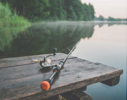
Fishing

Bring your fishing gear to Fish Lake to catch perch or one of the enormous lake trout that live in the cool waters. Motorized and non-motorized boats are welcome; there are several boat ramps on the western shore. For shore fishing, head to the reservoir at Indian Creek, and cast for rainbow trout.
-
Geocaching

Geocaching is permitted throughout the Fishlake National Forest. Some notable sites are the old plane crash site, Pando Grove, and Redview guard station.
-
Stargazing

After dark, spend time outside enjoying the forest's fantastic stargazing. Most sites offer a clear view, but the southern end and eastern side have the lowest levels of light pollution.
How to get to Fishlake National Forest
Address: 115 East 900 North, Richfield, UT 84701
Fee: Entry fee $0
The Fishlake National Forest is one of Utah's most underrated gems — you can hike, bike, and fish without ever encountering a crowd. With its year-round adventure and spectacular scenery, this forest is perfect for a weekend camping trip or a full family vacation. Bring an RV for comfortable camping in all kinds of mountain weather.
Frequently Asked Questions About Fishlake National Forest
What is the closest town to Fishlake National Forest?
Sevier, Utah is one of the closest towns to Fishlake National Forest. The towns of Joseph and Elsinore are also near the forest.
What type of wildlife lives in Fishlake National Forest?
Wildlife living in Fishlake National Forest includes black bears, elk, deer, moose, mountain lions, and mountain goats. You'll also find a wide variety of birds and reptiles that live in the forest.
Can you kayak, canoe, or raft in Fishlake National Forest?
Yes, you can kayak and canoe in Fishlake National Forest. There is also whitewater rafting available, and several companies lead rafting trips in the area.
Do you need a permit to fish or hunt in Fishlake National Forest?
Yes, you need a permit to hunt in Fishlake National Forest. If you are 12 or older, you'll also need a fishing license to fish in the forest.
Is Fishlake National Forest open all year round?
Yes, Fishlake National Forest is open year-round. Visitors can hike, bike, horseback ride, and paddle in summer. In winter, they can snowshoe, cross-country ski, ice fish, and more.