Malheur National Forest Guide
- Home
- National Forests
- Oregon
- Malheur National Forest
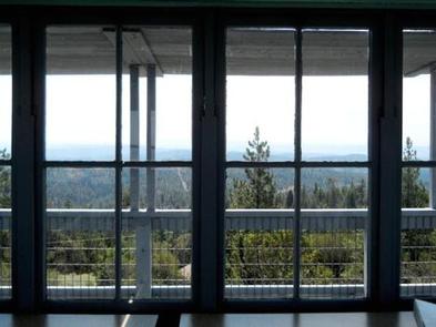
Located in the Blue Mountains along the eastern border of Oregon, the Malheur National Forest covers over 1.7 million acres. Created by President Theodore Roosevelt in 1908, this forest varies in elevation from 4,000 feet in its deepest valleys to 9,038 feet at the peak of Strawberry Mountain. Inside the forest are two wilderness areas—Monument Rock Wilderness and Strawberry Mountain Wilderness. Several roads run through the forest, most of which are gravel or dirt, making access to its interior available for RVs up to 40 feet in length. The scenery is impressive, and horses are welcome to explore those deep valleys where the streams are packed with fish. People from as far away as Portland and Eugene, OR, love to visit this beautiful forest while staying in nearby communities like Canyon City, OR.
RV Rentals Near Malheur National Forest
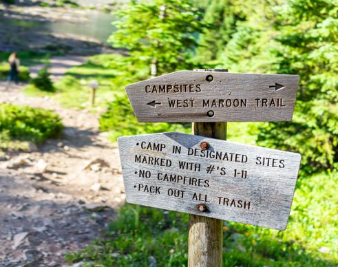
Malheur National Forest Hiking Trails
-
Strawberry Basin Trail
The Strawberry Basin Trail takes you past Strawberry Lake and into an alpine valley. Along the way, you get fantastic views of Strawberry Mountain and the hills beyond. Snow remains on these peaks long after it has melted in the valleys, providing extra runoff to fuel the 60-foot waterfall you discover near the trail’s end.
Length: 4.9 miles
Intensity: Intermediate
-
Summit Trail
Summit Trail is a short spur that reaches the summit of Strawberry Mountain. From Strawberry Mountain’s summit, you can see vast swaths of forest, the roads that travel through it, and the streams and rivers that drain away the snowmelt. Though the spur is short, it is steep and strewn with rocks.
Length: 0.3 miles
Intensity: Intermediate
-
Sunshine Flat Trail #368
The Sunshine Flat Trail is a wide pathway that allows for hiking, biking, and motorcycling. There are several mountain sightings revealed along this route as it was logged years ago, and seedlings have not yet blocked the view. Along the way, you pass several meadows where dispersed camping is allowed.
Length: 4.1 miles
Intensity: Intermediate
-
Onion Creek Trail
If you are an experienced hiker and if you want to take on a more challenging approach to the peak of Strawberry Mountain, then try the Onion Creek Trail. This trail climbs 3,500 feet over 4 miles of rocky terrain. Even the few meadows through which the trail passes are challenging.
Length: 6.5 miles
Intensity: Difficult
-
Slide Creek Trail
Slide Creek Trail takes you along Slide Creek to Slide Lake, the stream's source. The hike elevates you over 3,000 feet during its course. Toward the end of the trail, hikers are near the summit of Lookout Mountain and are privy to some amazing views of the forest below.
Length: 5.4 miles
Intensity: Difficult
Activities in Malheur National Forest

-
Identifying Flora and Fauna

Most of the precipitation received by Malheur National Forest comes during the winter months in the form of snow or freezing rain. Consequently, vegetation in low-lying meadows is dependent on snowmelt and can dry up during summer. Trees in this forest, such as ponderosa pine, juniper, jack pine, and some varieties of fir, are widespread residents of arid regions.
It is not surprising to discover the impressive list of wildlife that the Malheur National Forest supports. Nearly every representative animal of the Pacific Northwest is found somewhere in the forest. The valleys support moles, ground squirrels, elk, mule deer, cougar, timber wolves, lynx, bobcats, black bears, and a host of other animal lifeforms.
-
Fishing

Many urban dwellers come to this forest for the challenge of fishing in the high mountains. Nearly every stream and lake is packed with elusive cutthroat trout, one of the favorite dishes that anglers enjoy. Some lakes require a considerable hike to reach while others are immediately accessible along a roadside.
-
Geocaching

The game of geocaching is tolerated in the Malheur National Forest, except in the wilderness areas. If you are looking to plant a cache, take a side trip to the visitor center to get maps of the region. These maps are labeled with coordinates to keep geocaching in its proper locations.
-
Stargazing

As long as the weather cooperates, anywhere you go in the Malheur National Forest is a stargazer’s dream. Even at the lowest elevations, the night sky is lit with wonders dimmed by city lights but clear here. The higher elevations provide an even more magnificent sight as stars unseen before crowd into view.
How to get to Malheur National Forest
Address: 431 Patterson Bridge Road, John Day, OR 97845
Fee: Entry fee $0
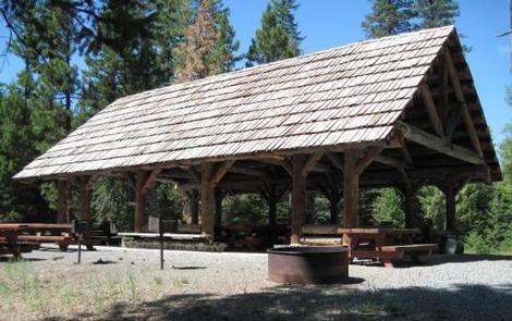
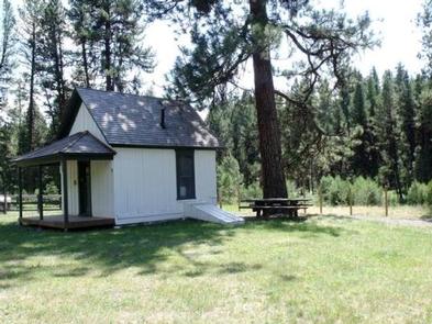
An RV is the perfect vehicle to use when visiting the Malheur National Forest. With roads permeating the forest, RVs can reach far into its secret places. When you take off for a hike or climb down to a stream or uphill to a lake to fish, you will find comfort in the realization that you have a private spot to which you can return. With the living quarters provided by an RV, you are well rested when you arise the next day for a new set of adventures.
Frequently Asked Questions About Malheur National Forest
Can you kayak, canoe, or raft in Malheur National Forest?
Yes, you can kayak and canoe in Malheur National Forest. There are several lakes and rivers in the forest that are great for paddling. There are also several places to go rafting, and a few companies that will lead rafting trips through the forest.
What is the closest town to Malheur National Forest?
Seneca, Oregon is one of the closest towns to the Malheur National Forest. There are places to eat, sleep, and shop in Seneca so you can stock up while on a camping trip or treat yourself to a meal.
What type of wildlife lives in Malheur National Forest?
Wildlife living in Malheur National Forest includes Rocky Mountain elk, deer, black bears, and bighorn sheep. The forest is also home to a variety of birds, fish, and other small animals.
What is the best time to visit Malheur National Forest?
May and June are the best times to visit Malheur National Forest. If you're a birdwatcher, those are the months when you'll see the most bird species in and around the forest. The weather is also warm enough for hiking, paddling, and other outdoor activities.
Is there a fee to get into Malheur National Forest?
No, there is no fee to get into Malheur National Forest. However, there may be additional fees and permits for day-use areas, camping, and other activities within the forest.