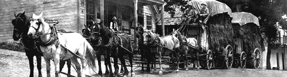
Tahoe National Forest Guide
- Home
- National Forests
- California
- Tahoe National Forest
Tahoe National Forest’s headquarters is in Nevada City, California, and sits on the California side of the California-Nevada border. This national forest covers more than 871,495 acres, and you can find many fabulous things to do there, including hiking on the trails in the Granite Chief Wilderness and fishing on the Truckee River and Boca Reservoir. The northernmost sequoia trees grow in this forest, which is about 45 miles northwest of Lake Tahoe.
RV Rentals Near Tahoe National Forest
Tahoe National Forest Hiking Trails
-
Castle Peak Trail
Park in the Boreal Parking Lot off Highway 80 to start this hike up Castle Peak, which is the highest point in the Tahoe Donner area. Follow the forest service road until you see the trail exit to the northwest in about 2 miles. Follow the trail, which runs concurrently with the Pacific Crest Trail, until you reach the Castle Peak ridgeline. After you have hiked along the ridgeline for about 0.5 miles, it will become steep and rocky as you reach Castle Peak’s summit.
Length: 5.9 miles
Intensity: Moderate
-
Five Lakes Trail
The Five Lakes Trail starts along Alpine Meadows Road about 4 miles north of Tahoe City. It runs past five lakes on its way to Granite Chief Wilderness, and you can fish and swim in all of these lakes. You can hike a mile further and catch the Pacific Crest Trail if you want to take a different route back to near your starting point.
Length: 5 miles
Intensity: Moderate
-
Granite Chief Trail
Granite Chief Trail begins at the end of the road near the ropes course at Squaw Valley’s Olympic Village. It meanders its way across several streams, through meadows of wildflowers, and into an old-growth forest. Then, you can scramble to the top of the Granite Chief. If you hike about 1 mile more, Squaw Valley’s Aerial Tram can give you a ride back down.
Length: 7.5 miles
Intensity: Difficult
-
Overland Emigrant Commemorative Trail
The Overland Emigrant Commemorative Trail begins at 261 Road Dog Valley Road and ends at 780 Alder Creek Road. While this trail is designed for mountain biking, many people hike along it. This trail is a fantastic place to see early-season wildflowers. Do not be surprised when you spot deer along this trail.
Length: 15.1 miles
Intensity: Moderate
-
Shirley Canyon Cascades Trail
Park on the side of Squaw Peak Road to start the Shirley Canyon Cascades Trail. This is a great place to go hiking when the snow is melting so that you can see the three waterfalls. Then, keep the river on your right and continue hiking for about 2.5 miles until you come to the giant granite slabs. Scramble up the slabs to reach Shirley Lake. When you come to the fork in the trail, you can choose either option to reach High Camp, where you can take the tram back to the beginning.
Length: 5 miles
Intensity: Difficult
Activities in Tahoe National Forest
-
Identifying Flora and Fauna

A beautiful way to see the plants in the northern part of the Tahoe National Forest is by traveling the driving loop starting in Nevada City. Follow Highway 49 through Downieville and Sierra City before driving over Yuba Pass. You will see many oaks, buckeyes, and cypress trees along this road. Then, once you get to Sierraville, follow Highway 89 to Truckee. Along this road, you will notice that the trees have changed to include more red and white fir trees along with Jeffrey, ponderosa, and lodgepole pine. At Truckee, take Interstate 80 West over Donner Summit to Highway 20. Along this section, you will notice the trees are almost all lodgepole and whitebark pine, along with red fir. Finish your four-hour drive by taking the Interstate 80 exit to Nevada city.
-
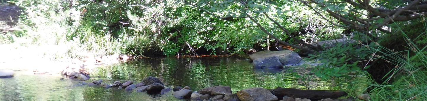
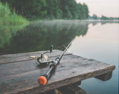
Fishing

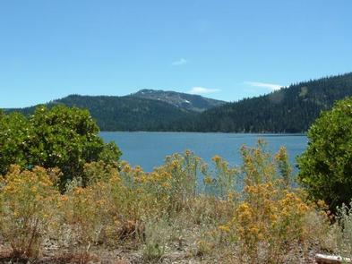
There are over 1,500 miles of streams and creeks to fish in the Tahoe National Forest. Many of them have natural trout hatcheries. You can find some of the best fishing in this forest along Highway 89. Independence Lake is home to one of only two wild, self-sustaining lake populations of Lahontan cutthroat trout in the world. Several of the campgrounds along this road offer trails to great hidden fishing spots.
-
Nature and Bird Watching

There are at least three areas along Highway 89 where you will want to stop and look for wildlife. Stop at the Kyburz Flat pullout to view the tunnel constructed under the highway to allow wildlife, especially fawns, to cross the road safely. You may get lucky and see one coming out of or into the tunnel. View broods of Canada geese, mergansers, mallards, and green-winged teal in the summer by visiting Jackson Meadow Reservoir. See nesting Canadian geese at the Kyburz Marsh Watchable Wildlife Site. You can see mallards, northern pintails, American wigeons, cinnamon teal, and gadwalls in this area in the summer.
-
Stargazing

Find a remote area of this national forest and watch the night sky open before you. Climbing up one of the remote trails is often a great idea because locations at a higher elevation help to eliminate ambient light.
How to get to Tahoe National Forest
Address: Boca Campground, 0811 Stockrest Springs Rd, Truckee, California 96161
Fee: Entry fee $0
Tahoe National Forest is a great place to fish, swim, hike, waterski, and stargaze. This is an extremely easy forest to reach because Interstate 80 runs right through it. The best way to explore this national forest is in an RV. If you do not have one, you can rent one on RVshare.com. You will find a number of great choices available, and each one comes with 24/7 roadside assistance.
Frequently Asked Questions About Tahoe National Forest
Is there a fee to get into Tahoe National Forest?
No, there is no fee to get into Tahoe National Forest. There are some recreational activities you can do inside the forest that may require additional permits or fees, however.
What is the best time to visit Tahoe National Forest?
The best time to visit Tahoe National Forest is in the spring or fall. The area can get crowded during the busy summer months, and fall is the perfect time to see beautiful foliage and enjoy the crisp air.
Can you kayak, canoe, or raft in Tahoe National Forest?
Yes, you can canoe and kayak in Tahoe National Forest. There are also several companies that offer rafting trips very close to the forest as well.
What is the closest town to Tahoe National Forest?
Truckee is a town that is located in the Tahoe National Forest. Nevada City, California is another nearby town. Campers can restock in Truckee, go to the grocery store, or grab a bite to eat in town.
What type of wildlife lives in Tahoe National Forest?
Wildlife that lives in Tahoe National Forest includes black bears, deer, quail, bobcats, gray foxes, and beavers. There is also a variety of birds, fish, amphibians, and other small animals in the forest.