Stanislaus National Forest Guide
- Home
- National Forests
- California
- Stanislaus National Forest
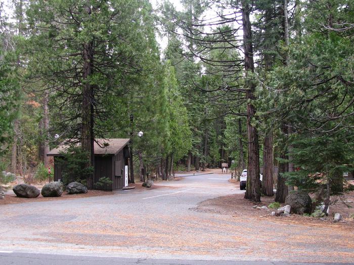
The Stanislaus National Forest is adjacent to the northwestern part of Yosemite National Park. This headquarters for this forest that covers about 898,000 acres is in Sonora, California. Congress established it on February 22, 1897, so it is one of the oldest national forests in the country. It is a great idea to know where you are going before heading on an adventure in this forest because there are almost 3,000 miles of roads. This forest contains over 1,100 miles of trails and over 811 miles of streams and rivers, including the Stanislaus River, which the forest is named after. Dodge Ridge and Bear Valley ski resorts are in this forest.
RV Rentals Near Stanislaus National Forest
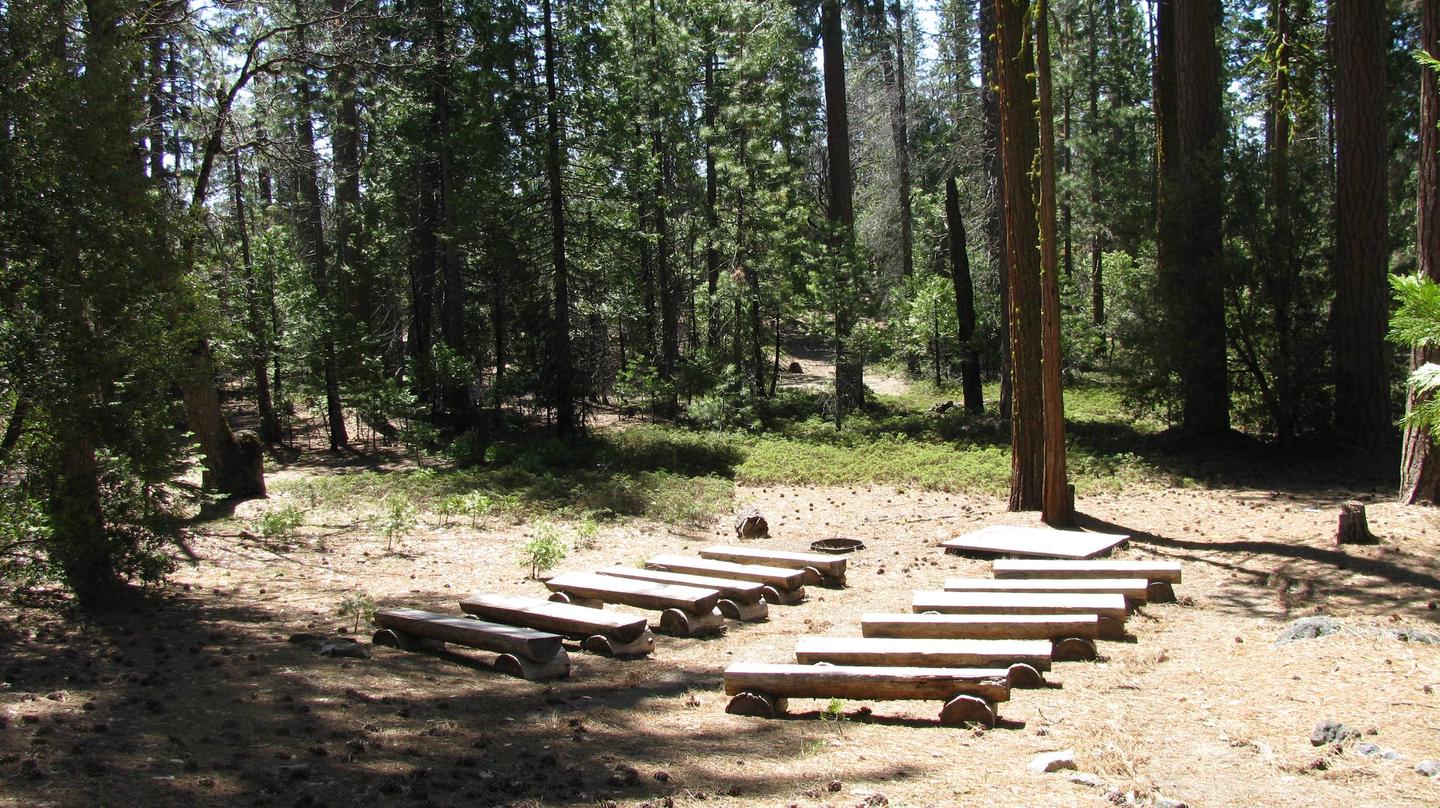
Stanislaus National Forest Hiking Trails
-
Andresen Mine Trail
This hike starts near the Holm Powerhouse, and it ends at Lumsden Road. This trail follows the Cherry Creek and the Tuolumne Wild & Scenic River. Especially along the river, it climbs bluffs with steep drop-offs. This trail burned in the 2013 Rim Fire, and you may still discover loose rocks, but it is a fantastic place to see how the forest regenerates itself after a forest fire.
Length: 4.5 miles
Intensity: Moderate
-
High Country Meadows Trail
The High Country Meadows Trail starts at the Bear Trap Basin and runs to Corral Hollow. This hike through the Upper Mokelumne River Canyon is a great place to see beautiful wildflowers in the mid-to-late summer and fall colors. The trail has steep 300-foot climbs on both ends. It passes through gorgeous meadows, which are great places for picnics.
Length: 9.2 miles
Intensity: Moderate
-
Bull Run Lake Trail
Enjoy the reasonably level beginning of the Bull Run Lake Trail, starting near Highway 4 at the Stanislaus Meadow Trailhead. The trail runs around the beautiful Bear Run Lake, with its gorgeous island in the middle. Then, it climbs a hill offering stunning views of the area before you hike back to its starting point.
Length: 7 miles
Intensity: Moderate
-
Chewing Gum and Burst Rock Hike
This hike starts near the cross-country ski trails/experimental forest in the Dodge Ridge Ski Area. Enjoy views of the South Fork of the Stanislaus River as you hike towards Burst Rock. From the top of the ridge, take the trail through the Powell Lake Basin. Then, climb the hill to reach Chewing Gum Lake with its beautiful giant pine trees along its shore.
Length: 10 miles
Intensity: Moderate
-
Elephant Rock Loop
The Elephant Rock Loop starts at the end of Forest Service Road 7N29Y. Hike along the ancient, iceberg-scarred granite path until you reach Elephant Rock Loop. This trail runs very close to the Carson-Iceberg Wilderness. Enjoy stunning views of Union Reservoir and Elephant Rock Lake on this out-and-back trail. You can bring leashed dogs on this hike.
Length: 8 miles
Intensity: Moderate
Activities in Stanislaus National Forest
-
Identifying Flora and Fauna

The varied elevation of Stanislaus National Forest means that you can see many different plant communities. At lower elevations, you will find tangled fields of chaparral plant communities. These areas can be a great place to see scrub oak, coast live oak, canyon live oak, valley oak, and interior live oak trees. You can also find pine and cypress communities at lower elevations in this forest. Above them, you will find alpine meadows. This is a beautiful region to see perennial herbs poking out from between rocks. Above the alpine meadow is the high country. This is an area where very few trees grow, and plants are very short.
-
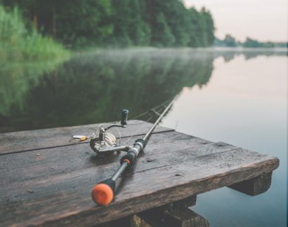
Fishing

If you are an angler, you will love coming to Stanislaus National Forest because there are great fishing places near three major roads. Along Highway 108, you may want to start your fishing adventure at Pinecrest Lake and Beardsley Reservoir, which are both fantastic places to go trout fishing. Along Highway 4 is the 2,000-acre Spicer Reservoir and numerous alpine lakes, where you can usually catch great trout from early spring through October. Easily reach the largest lake in the forest by taking Highway 120. In addition to rainbow trout, Cherry Lake is a great place to catch Eastern brook and German brown trout.
-
Geocaching

There may be traditional geocaches in Stanislaus National Forest, but you will also want to locate some of the 20 EarthCaches in Tuolumne and Calaveras counties. Start at the Column of the Giants off Highway 108, just east of Dardanelle. Try to figure out why many of the rocks in this area are about 1 million years old, but these tall columns are only about 150,000 years old. Locate and measure the volcanic dike.
-
Nature and Bird Watching

When you go to Stanislaus National Forest, watch for owls as spotted and great grey owls live in this region. You may also see bald eagles. Near the lower elevation ponds, lakes, and rivers, look for various turtles, including the Western pond turtle. You may also see California red-legged and Foothill yellow-legged frogs. This forest is home to over 17 species of bats, including three endangered species. You may also see larger animals, like mule deer, coyotes, bears, and skunks.
-
Stargazing

Pinecrest Lake in Stanislaus National Forest is a fabulous place to go stargazing. You will be amazed as the lake acts as a mirror and reflects the light coming from the moon and stars, lighting up the forest with beautiful light. Be sure to bring your camera to capture this unique site.
How to get to Stanislaus National Forest
Address: Lake Alpine Recreation Area, Lake Alpine Campground Road, Arnold, California 95223
Fee: Entry fee $0
It is easy to reconnect with nature by going to Stanislaus National Forest. In reality, you are less than 2.5 hours from San Francisco and Sacramento. It is a great place to explore in an RV and go hiking, fishing, and stargazing. Spend time exploring other nearby attractions, including Yosemite National Park.
Frequently Asked Questions About Stanislaus National Forest
How many hiking trails does Stanislaus National Forest have?
The Stanislaus National Forest contains more than 1,100 miles of trails for hikers. From easy, flat trails to strenuous, steep trails there's something for every level of hiker.
What type of wildlife lives in Stanislaus National Forest?
Wildlife in the Stanislaus National Forest includes black bears, ground squirrels, pika, marmots, rattlesnakes, and a variety of other amphibians. There are also many birds and other small animals in the forest.
What is the closest town to Stanislaus National Forest?
Sonora is one of the closest towns to Stanislaus National Forest. Sonora has stores, restaurants, campgrounds, and other lodgings. It's a good spot for campers to get supplies, or just to relax for a day or two.
Can you kayak, canoe, or raft in Stanislaus National Forest?
Yes, you can kayak or canoe in Stanislaus National Forest! There are several lakes that are great for paddling or swimming and enjoying the outdoors.
Do you need a permit to fish or hunt in Stanislaus National Forest?
Yes, you need a permit to hunt or fish in Stanislaus National Forest. Everyone 16 and up needs a fishing license, although California has a few free fishing days each year.