
High Rockies, Colorado Top Pet Friendly RV Parks and Campgrounds

Eagle Soaring RV Park
Eagle Soaring RV Park is in a remote area of Colorado. This RV park is located in the town of Steamboat Springs, which is near Medicine Bow – Routt National Forests. Rates at this RV park are reasonable, and it is right off US Highway 41.

Paradise on the River
Paradise on the River is in a rural, mountainous area. It is to the southwest of Estes Park, and Prospect Mountain, Eagle Cliff Mountain, and Gianttrack mountain loom in the distance. This RV park is very small, and it is next door to a tavern.
Gateway RV Park
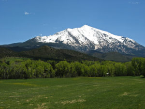
Gateway RV Park is a tiny RV park in the town of Carbondale. It is one of the most remote RV parks in the High Rockies, Colorado area, but it is only 40 minutes away from Aspen. It is right off Highway 82 and offers river access.

Manor RV Park
Manor RV Park is located in Estes Park, and it is one of the biggest RV parks in the area. It features incredible mountain views, and it is within walking distance of many amenities. Highway 36 is nearby, and Beaver Meadows Visitor Center is about five minutes away.

Meeker Riverbend RV Park
Meeker Riverbend RV Park is open all year long. It is situated on the White River in the small town of Meeker. This RV park is tiny, but it offers great amenities.

Red Mountain RV Park
Red Mountain RV Park is a small RV park in Kremmling, Colorado. This RV park is an hour away from Denver, and it is also near Rocky Mountain National Park. Red Mountain RV Park offers beautiful views of the mountains, and the sunsets from this RV park are stunning.
Ami’s Acres Campgrounds
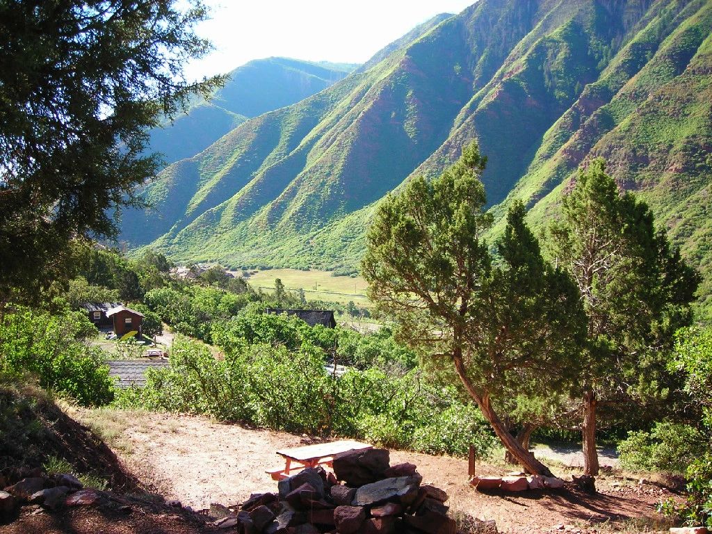
Ami’s Acres Campgrounds is a small RV park to the west of Glenwood Springs. This RV park is rated favorably by former guests, and it is across the freeway from the Colorado River. Pads at this RV park are separated by mature trees.

Tiger Run Resort
Tiger Run Resort is located to the east of Arvada in Arapaho and Roosevelt National Forests. It is one of the most isolated RV parks in the area, and it is surrounded by tall trees. Despite its remote location, Tiger Run RV Resort is still close to Interstate 70.
South Fork Group Site Arapaho Nf (Co)
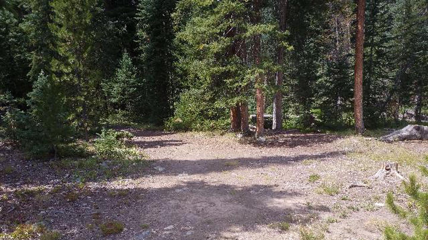
Overview South Fork Group Campground is located in north central Colorado in the Williams Fork Valley next to South Fork Creek. Many mountain streams and creeks nearby offer good fishing opportunities. South Fork is the only facility in the area designated for horse camping. Recreation The South Fork Trail begins at the campground and is one of the most popular trails in the valley. The 26-mile loop trail is open to hiking and horseback riding, and provides access to other trails in the area, including Ptarmigan Pass, Ute Peak and Jones Pass Trails. Mountain biking opportunities also exist in the valley. The Byers Peak Wilderness can be accessed nearby. Anglers enjoy trout fishing on the South Fork Creek and numerous additional streams and creeks in the surrounding area. Wildlife viewing opportunities abound. Facilities The South Fork Trail begins at the campground and is one of the most popular trails in the valley. The 26-mile loop trail is open to hiking and horseback riding, and provides access to other trails in the area, including Ptarmigan Pass, Ute Peak and Jones Pass Trails. Mountain biking opportunities also exist in the valley. The Byers Peak Wilderness can be accessed nearby. Anglers enjoy trout fishing on the South Fork Creek and numerous additional streams and creeks in the surrounding area. Wildlife viewing opportunities abound. Natural Features The campground is located in the Williams Fork Valley next to South Fork Creek at an elevation of 8,962 feet. A cool mountain climate with frequent afternoon thunderstorms should be expected. Due to the pine beetle infestation and hazardous tree removal, shade has been reduced throughout the campground. The Arapaho and Roosevelt National Forests and Pawnee National Grassland sit on the foothills and peaks of the Rocky Mountains in Colorado. The forests and grassland cover 1.5 million acres and extend north to the Wyoming border, south to Mount Evans and west across the Continental Divide.

Middle Fork RV Resort
Middle Fork RV Resort is a tiny RV park in the town of Fairplay, Colorado. This town is deep within the Rocky Mountains, and there are tons of mountain hikes in the vicinity of this campground. Since Middle Fork RV Resort is on the South Platte River, fishing is available at this RV park.


Dawson Cabin
Overview Dawson Cabin provides campers with a rustic, remote getaway in the beautiful Clear Creek Canyon. The Clear Creek Historical District offers visitors a taste of mining history from the mid-19th Century, when people came far and wide looking for gold, silver and other precious minerals. By the 1890s, about 50,000 residents lived in the valley, in search of great fortune. Recreation Off-road vehicle trails and hiking trails are nearby. Some hiking trails lead into the Collegiate Peaks Wilderness, which is named for the numerous 14,000 ft. peaks named after colleges, such as Yale, Harvard and Princeton. Collegiate Peaks is the headwaters for the Arkansas, Gunnison, and Roaring Fork Rivers. The landscape is composed of alpine tundra, high lake basins and glacial river valleys. Facilities Off-road vehicle trails and hiking trails are nearby. Some hiking trails lead into the Collegiate Peaks Wilderness, which is named for the numerous 14,000 ft. peaks named after colleges, such as Yale, Harvard and Princeton. Collegiate Peaks is the headwaters for the Arkansas, Gunnison, and Roaring Fork Rivers. The landscape is composed of alpine tundra, high lake basins and glacial river valleys. Natural Features Dawson Cabin is nestled at the base of Ervin Peak in Clear Creek Canyon, at an elevation of about 9,600 feet. It is on the outskirts of the Collegiate Peaks Wilderness in the Sawatch Range of the Rocky Mountains. Clear Creek passes near the cabin. The cabin is located in the Leadville Ranger District, which is home to the Sawatch Range, the highest mountain range in Colorado. These rugged, glaciated mountains form the crest of the Continental Divide. Mount Elbert, at 14,443 feet, is Colorado's highest peak and one of ten "fourteeners" located in the District. Nearby Attractions The historic town of Winfield is about 5 miles farther up the valley. The nearest place for pay phones and a grocery store is in Buena Vista, about a 45 minute drive. Visitors can head to Clear Creek Reservoir, about 5 miles east, for fishing and boating. Fish species include brook trout, brown trout, rainbow trout, and tiger muskie. A few miles further is the Arkansas River, where whitewater rafting is a big hit.
Pioneer Park Campground, Hot Sulphur Springs, Colorado

Echo Lake
Overview Echo Lake Campground is located on the Arapaho and Roosevelt National Forests in central Colorado near its namesake lake at the base of Mount Blue Sky along Hwy 103. Visitors enjoy hiking, fishing and taking scenic drives along Mount Evans Road. Recreation Activities in the area include hiking in the Mount Evans Wilderness, fishing, scenic driving and wildlife viewing. Several trails leave directly from the campground. Facilities Activities in the area include hiking in the Mount Evans Wilderness, fishing, scenic driving and wildlife viewing. Several trails leave directly from the campground. Natural Features Echo Lake sits in a spruce forest near the shores of Echo Lake. The campground's 10,600' elevation creates cool to chilly nights, even in summer, and its location on a mountain pass makes for windy conditions year-round. The Arapaho and Roosevelt National Forests and Pawnee National Grassland on the foothills and slopes of the Rocky Mountains in Colorado. The forests and grassland cover 1.5 million acres and extend north to the Wyoming border, south to Mount Evans and west across the Continental Divide. The area encompasses mountains, lakes and five scenic byways, designated by Congress for their scenery, wildlife or history, including the highest road in North America. Mount Evans Road, also known as Colorado Highway 5, allows visitors to drive from 10,500' to 14,130' above sea level in just 14 miles. contact_info For facility specific information, please call (530) 529-0578. Nearby Attractions Nearby Idaho Springs, a former mining town, makes for a nice outing. History buffs will appreciate the Argo Gold Mine and Mill Museum. The City and County of Denver Mountain Park, Echo Lake and Echo Lake Lodge are located adjacent to the campground.
Pumphouse Recreation Area
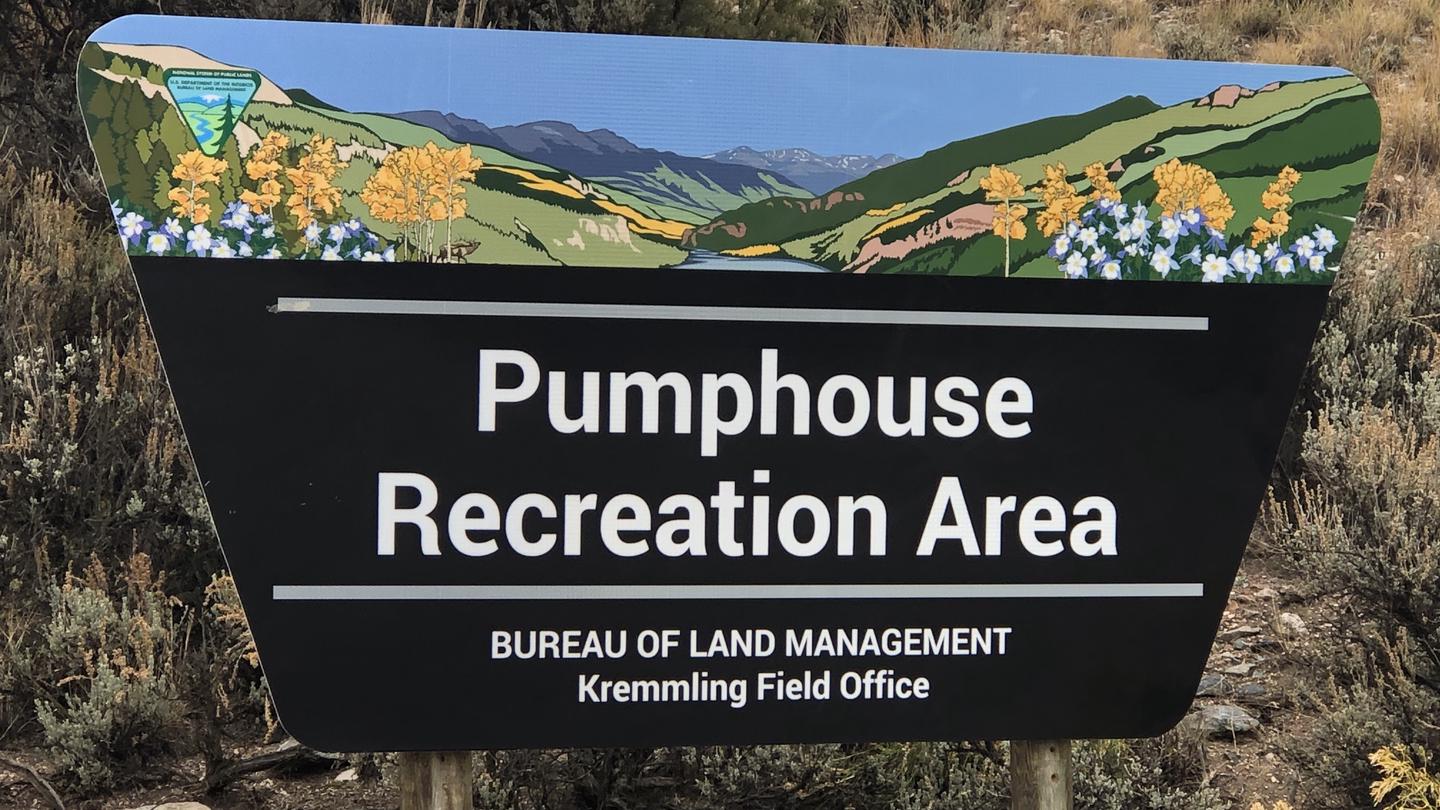
Overview Managed by Kremmling Field Office The Pumphouse Recreation Area is part of the Upper Colorado River Special Recreation Management Area (SRMA), providing opportunities for developed camping, river access and access to hiking trails. With over 100,000 annual visitors the sites facilities include 3 developed boat ramp sites, 12 vault toilets, day use and overnight parking, 18 Single Campsites and 2 Group Campsites. The campground has a potable water system (not available for trailer hookups or filling of Recreational Vehicle and Travel Trailer filling). Recreation Pumphouse Recreation Area is the most heavily used access point for the Upper Colorado River between Kremmling and State Bridge. Those floating downriver access calm flat water to Class III whitewater rapids. The Gore Canyon Whitewater Playpark is located just above Boat Ramp #2 and provides a manmade wave that is popular for kayakers, stand up paddle boarders and other small watercraft. It is also an exciting splash feature for watercraft coming downriver from Boat Ramp #1. Hiking opportunities accessed from the Pumphouse Recreation Area provide ample access for wade fishing and exploring along the Colorado River. The Gore Canyon Trail is open to foot travel only providing access upriver for 1.5 miles. Keep an eye out for the historic retaining walls holding the trail in place that early surveyors of Gore Canyon and homesteaders developed to access this area of the river for finding a railroad route and efforts to divert water for irrigation. The Gore Canyon Ranch Trail is open to foot travel only and provides access downriver for 1.25 miles connecting to the Gore Canyon Ranch Trailhead and Parking Area. This undeveloped area was the site of a homestead ranch and was acquired by the BLM to improve public access, restore habitat for wildlife and provide educational opportunities on the area’s history, wildlife and responsible recreation opportunities. The historic Argentine Trail is open to foot travel only and is accessed from the Gore Canyon Ranch Trail. This trail is not for the lighthearted as it has steep drop offs from a trail that was blasted into the cliffs of Hartman Canyon. Those floating down stream can see this trail high up the canyon wall on river left. Facilities Pumphouse Recreation Area is the most heavily used access point for the Upper Colorado River between Kremmling and State Bridge. Those floating downriver access calm flat water to Class III whitewater rapids. The Gore Canyon Whitewater Playpark is located just above Boat Ramp #2 and provides a manmade wave that is popular for kayakers, stand up paddle boarders and other small watercraft. It is also an exciting splash feature for watercraft coming downriver from Boat Ramp #1. Hiking opportunities accessed from the Pumphouse Recreation Area provide ample access for wade fishing and exploring along the Colorado River. The Gore Canyon Trail is open to foot travel only providing access upriver for 1.5 miles. Keep an eye out for the historic retaining walls holding the trail in place that early surveyors of Gore Canyon and homesteaders developed to access this area of the river for finding a railroad route and efforts to divert water for irrigation. The Gore Canyon Ranch Trail is open to foot travel only and provides access downriver for 1.25 miles connecting to the Gore Canyon Ranch Trailhead and Parking Area. This undeveloped area was the site of a homestead ranch and was acquired by the BLM to improve public access, restore habitat for wildlife and provide educational opportunities on the area’s history, wildlife and responsible recreation opportunities. The historic Argentine Trail is open to foot travel only and is accessed from the Gore Canyon Ranch Trail. This trail is not for the lighthearted as it has steep drop offs from a trail that was blasted into the cliffs of Hartman Canyon. Those floating down stream can see this trail high up the canyon wall on river left. Natural Features The Pumphouse Recreation Area is adjacent to the Colorado River between Gore Canyon and Hartman Canyon. The scenery within the area is a major component to the adjacent Colorado Headwaters National Scenic and Historic Byway and are important features that make this stretch of river Wild and Scenic Eligible. Nearby Attractions The town of Kremmling, CO is approximately 15 miles east from Pumphouse Recreation Area where visitors can get supplies. Rancho Del Rio – a private resort along the Colorado river, has a small store with supplies and is a river access point for those recreating on the river. Rancho Del Rio is located approximately 10 miles west along Trough Road. Trough Road, which accesses the BLM Recreation Areas and Rancho Del Rio (private river access – fee site) is the Colorado Headwaters National Scenic and Historic Byway. Originating just east of Grand Lake on Highway 34, the byway ends at State Bridge.
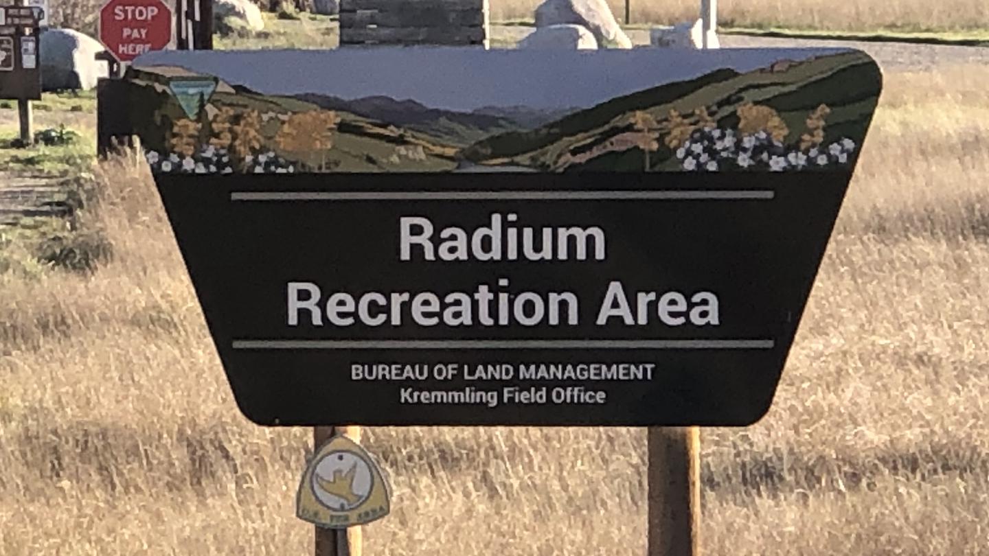
Radium Recreation Area
Overview Managed By Kremmling Field Office The Radium Recreation Area is part of the Upper Colorado River Special Recreation Management Area (SRMA), providing opportunities for developed camping and river access. With over 100,000 annual visitors the sites facilities include 2 developed boat ramp sites, 9 vault toilets, day use and overnight parking, 16 single campsites and 2 Group Campsites and 3 day use shade structures. There is no potable water provided at this area. The area is used by visitors to access the river for floatboating and fishing opportunities. Recreation Recreation opportunities include river access for fishing and floatboating. On-site picnic shelters provide visitors with opportunities to a covered area for relaxing and picnicking. Note – Radium Warm Springs Access: There are no designated trails from this area and there is no designated access to the Radium Warm Springs. Parking is not permitted along the narrow Radium Road between the Radium Recreation Area and Trough Road to ensure safe passage of vehicles and ensure clear passage for Emergency Vehicles when needed. Please respect the social trail closures and restoration conducted on BLM managed lands along Radium Road that protect area wildlife habitat including area Big Horn Sheep. The Colorado Parks and Wildlife Mugrage Site along Radium Road, including the restroom and social trail that accessed the Radium Warm Springs within the Radium State Wildlife Area, is closed for the protection of this important habitat. The BLM is looking at a potential future designated and developed trail from the Radium Recreation Area. Until a trail alignment along Radium Road is developed it is recommended that the easiest and safest way to access the Radium Warm Springs from Radium Recreation Area is to drive to Warm Springs Road 1.5 northeast along Trough Road. Follow the directional sign located at the intersection of Radium Road and Trough Road. A parking area and trailhead at the end of Warm Springs Road provides access to the Radium Warm Springs via the Warm Springs Trail open to foot travel only, or the Ol’ Warm Springs Trail which is open to Foot, Horse, Bicycle and eBike travel. Facilities Recreation opportunities include river access for fishing and floatboating. On-site picnic shelters provide visitors with opportunities to a covered area for relaxing and picnicking. Note – Radium Warm Springs Access: There are no designated trails from this area and there is no designated access to the Radium Warm Springs. Parking is not permitted along the narrow Radium Road between the Radium Recreation Area and Trough Road to ensure safe passage of vehicles and ensure clear passage for Emergency Vehicles when needed. Please respect the social trail closures and restoration conducted on BLM managed lands along Radium Road that protect area wildlife habitat including area Big Horn Sheep. The Colorado Parks and Wildlife Mugrage Site along Radium Road, including the restroom and social trail that accessed the Radium Warm Springs within the Radium State Wildlife Area, is closed for the protection of this important habitat. The BLM is looking at a potential future designated and developed trail from the Radium Recreation Area. Until a trail alignment along Radium Road is developed it is recommended that the easiest and safest way to access the Radium Warm Springs from Radium Recreation Area is to drive to Warm Springs Road 1.5 northeast along Trough Road. Follow the directional sign located at the intersection of Radium Road and Trough Road. A parking area and trailhead at the end of Warm Springs Road provides access to the Radium Warm Springs via the Warm Springs Trail open to foot travel only, or the Ol’ Warm Springs Trail which is open to Foot, Horse, Bicycle and eBike travel. Natural Features The Radium Recreation Area is adjacent to the Colorado River next to the small town of Radium. The scenery within the area is a major component to the adjacent Colorado Headwaters National Scenic and Historic Byway and are important features that make this stretch of river Wild and Scenic Eligible. Nearby Attractions The town of Kremmling, CO is approximately 20 miles east from Radium Recreation Area where visitors can get supplies. Rancho Del Rio – a private resort along the Colorado river, has a small store with supplies and is a river access point for those recreating on the river. Rancho Del Rio is located approximately 6 miles west along Trough Road. Trough Road, which accesses the BLM Recreation Areas and Rancho Del Rio (private river access – fee site) is the Colorado Headwaters National Scenic and Historic Byway. Originating just east of Grand Lake on Highway 34, the byway ends at State Bridge.

Sun Outdoors Rocky Mountains
River Run RV Resort is an alpine oasis nestled in the north central part of the Rocky Mountains in Granby, Colorado. This resort takes RV camping to luxurious heights with excellent amenities that feature beautifully landscaped RV sites with full hookups, a sport court complex and a wellness center. River Run's great location is also perfect for those who want to explore Grand Lake, Winter Park Ski Resort and Rocky Mountain National Park.

Idaho Springs RV Resort & Campground
Explore the tranquility of Idaho Springs RV Resort & Campground, nestled in the majestic mountains near Denver, Colorado. Situated along I-70 between Georgetown and Idaho Springs, our park offers stunning views and serene surroundings.
Snowy Peaks RV Park


Columbine Campground
Overview Columbine Campground is located just off the Peak to Peak Scenic Byway/Highway 119, west of Denver, in north central Colorado. This campground is popular with off-road enthusiasts and many jeep roads can be reached from the campground. Recreation Many hiking and biking trails are found nearby. Scenic driving is available along Highways 119 and 72, which is also known as the Peak to Peak Scenic Byway. Numerous creeks, rivers and lakes in the area provide fishing opportunities. Off-road enthusiasts will find many jeep roads in the vicinity. Facilities Many hiking and biking trails are found nearby. Scenic driving is available along Highways 119 and 72, which is also known as the Peak to Peak Scenic Byway. Numerous creeks, rivers and lakes in the area provide fishing opportunities. Off-road enthusiasts will find many jeep roads in the vicinity. Natural Features The campground's two loops are situated in a grove of aspen and lodgepole pine, at an elevation of 9,200 feet. Highway 279 is gravel to the campground and the interior campground road is dirt. Due to the mountain pine beetle infestation and removal of hazardous trees, there may be little to no shade available in the campground. Nearby Attractions The historic mining town of Central City is nearby. Popular events there include Lou Bunch Day and the Central City Opera and Jazz festivals. Golden Gate Canyon State Park is a short drive from the campground. This scenic park offers over 35 miles of hiking trails. Mountain biking and horseback riding are allowed on some trails. Every stream and pond in the park is open to fishing. contact_info For facility specific information, please call (530) 529-0578. Charges & Cancellations A $10.00 service fee will apply if you change or cancel your reservation. Late cancellations are subject to additional fees.
